International Journal of Coal Science & Technology Pub Date : 2023-07-25 , DOI: 10.1007/s40789-023-00601-9 Shidong Wang , Jianhua Guo , Yang Yu , Pujie Shi , Hebing Zhang
|
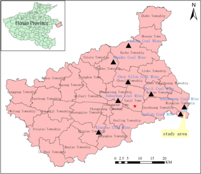
Several deficiencies exist in the present evaluation of land reclamation quality in mining areas. These include the absence of an established set of evaluation index systems and standard acceptance criteria, as well as the use of traditional sampling techniques, which are costly and in efficiency, and time-consuming. Compared with the traditional sampling survey methods, remote sensing has the advantages of a wide detection range, diverse information collection, multiple data-acquiring strategies, high speed, and short cycle. In this study, we used the Xinzhuang coal mining field in Yongcheng, Henan Province as an example to extract information and invert surface parameters using remote sensing techniques, based on national and local reclamation regulations and standards. Subsequently, using remote sensing, we constructed an index system for evaluating land reclamation quality in three aspects: reclaiming project quality, soil quality, and ecological benefits. Through the grading standards of evaluation indicators and quantitative remote sensing models, we determined the extracted information on the area of indicators, roads, ditches, soil moisture, organic matter, and ecological benefits after reclamation. Based on this, we established a quality evaluation model for mining land reclamation using an improved index and method. The evaluation units were divided, and the weight of the evaluation index was determined using the analytic hierarchy process and data envelopment analysis (AHP–DEA) method. The land reclamation quality in the study area was comprehensively evaluated, field accuracy was verified, and the results were analyzed. The results show that, except for the removal of roads, houses, and fishponds in the study area, all 13 evaluation units achieved a score of 60 points or higher. The quality of reclamation met the standards, and the evaluation results were consistent with the conclusions of the field investigation and project acceptance report, demonstrating the reliability and feasibility of the method developed in this study. The research results will provide technical support for the scientific evaluation of land reclamation quality.
中文翻译:
基于遥感的矿区土地复垦质量评价
目前矿区土地复垦质量评价存在一些不足。其中包括缺乏一套既定的评价指标体系和标准验收标准,以及采用传统的抽样技术,成本高、效率低、耗时长。与传统的抽样调查方法相比,遥感具有探测范围广、信息采集多样、数据获取策略多样、速度快、周期短等优点。本研究以河南永城辛庄煤矿矿区为例,依据国家和地方复垦法规和标准,利用遥感技术提取信息并反演地表参数。随后,利用遥感技术,从复垦工程质量、土壤质量、生态效益三个方面构建了土地复垦质量评价指标体系。通过评价指标分级标准和定量遥感模型,确定了提取的指标面积、道路、沟渠、土壤湿度、有机质、复垦后生态效益等信息。在此基础上,采用改进的指标和方法,建立了矿区土地复垦质量评价模型。划分评价单元,采用层次分析法和数据包络分析(AHP-DEA)方法确定评价指标的权重。对研究区土地复垦质量进行综合评价,实地验证精度,并对结果进行分析。结果显示,除研究区道路、房屋、鱼塘拆除外,13个评价单位均取得60分以上得分。复垦质量符合标准,评价结果与现场调查和工程验收报告的结论一致,证明了本研究方法的可靠性和可行性。研究成果将为土地复垦质量的科学评价提供技术支撑。证明了本研究方法的可靠性和可行性。研究成果将为土地复垦质量的科学评价提供技术支撑。证明了本研究方法的可靠性和可行性。研究成果将为土地复垦质量的科学评价提供技术支撑。


 京公网安备 11010802027423号