Applied Water Science ( IF 5.7 ) Pub Date : 2022-07-07 , DOI: 10.1007/s13201-022-01716-1 Arup Giri , Vijay K. Bharti , Sahil Kalia , Krishna Kumar , Mayarngam Khansu
|
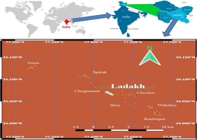
A total of seventy irrigation water samples were collected from Leh, Ladakh, India, to determine their hydrochemistry profile and water quality for irrigation purposes. Water quality indices such as total hardness (TH), residual sodium carbonate (RSC), potential salinity (PS), permeability index (PI), Kelly's ratio (KR), sodium absorption ratio (SAR), corrosivity ratio (CR), and chloroalkaline indices (CAI) were measured. The Piper diagram, Durov's diagram, and United States Salinity Laboratory (USSL) diagram were drawn to determine the water types, ion exchange processes, and rock–soil–water interaction. The findings indicated that the hydrochemical characteristics of irrigation water are naturally alkaline. Furthermore, water quality parameters revealed that the study area’s surface water is suitable for irrigation purposes, despite relatively high TH and MH levels. The level of CR indicated that water should not be transported using metal pipes. The CAI and Durov's plot indicated direct ionic exchange processes controlling water chemistry. Additionally, this irrigation water is mainly dominated by the Ca2+–Cl−–SO42−, Na+–K+–CaCO3 + HCO3−, and Na+–K+–Cl− type, which indicates silicate rock weathering along with some anthropogenic input. The USSL salinity diagram indicated a medium salinity and low Na hazard. Hence, it is concluded that the rock weathering cycle is the natural source of all the cations and anions, and these ions pass directly from water to rock and vis-à-vis, along with some input of anthropogenic activity.
中文翻译:
印度拉达克列城跨喜马拉雅高海拔地区灌溉水的水化学和质量评估
从印度拉达克的列城共采集了 70 个灌溉水样本,以确定其水化学特征和用于灌溉的水质。水质指标,如总硬度(TH)、残留碳酸钠(RSC)、潜在盐度(PS)、渗透指数(PI)、凯利比(KR)、钠吸收比(SAR)、腐蚀性比(CR)和测量氯碱指数(CAI)。绘制了 Piper 图、Durov 图和美国盐度实验室 (USSSL) 图来确定水的类型、离子交换过程和岩石-土壤-水的相互作用。研究结果表明,灌溉水的水化学特征是天然碱性的。此外,水质参数显示研究区的地表水适合灌溉用途,尽管 TH 和 MH 水平相对较高。CR 的水平表明不应该使用金属管道输送水。CAI 和 Durov 的图显示了控制水化学的直接离子交换过程。此外,这种灌溉水主要由 Ca2+ -Cl - -SO 4 2-,Na + -K + -CaCO 3 + HCO 3 -和Na + -K + -Cl -类型,表明硅酸盐岩石风化以及一些人为输入。USSL 盐度图显示了中等盐度和低钠危害。因此,可以得出结论,岩石风化循环是所有阳离子和阴离子的天然来源,这些离子直接从水传递到岩石并与岩石相对,并伴随着一些人为活动的输入。


 京公网安备 11010802027423号