当前位置:
X-MOL 学术
›
Hydrol. Process.
›
论文详情
Our official English website, www.x-mol.net, welcomes your
feedback! (Note: you will need to create a separate account there.)
The Baker Creek Research Watershed: Streamflow data highlighting the behaviour of an intermittent Canadian Shield stream through a wet–dry–wet cycle
Hydrological Processes ( IF 2.8 ) Pub Date : 2021-01-09 , DOI: 10.1002/hyp.14038 Christopher Spence 1 , Newell Hedstrom 1
Hydrological Processes ( IF 2.8 ) Pub Date : 2021-01-09 , DOI: 10.1002/hyp.14038 Christopher Spence 1 , Newell Hedstrom 1
Affiliation
|
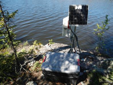
Baker Creek drains water from subarctic Canadian Shield terrain comprised of a mix of exposed Precambrian bedrock, lakes, open black spruce forest and peat filled depressions. Research in the catchment has focused on hydrological processes at the hillslope and catchment scales. Streamflow is gauged from several diverse sub‐catchments ranging in size from 9 to 155 km2. The period of record (2003–2019) of streamflow from these sub‐catchments extends from 12 to 17 years, and these data are the focus of this note. Such data are unique in this remote region. 2003–2019 was a period that included both historic wet and dry conditions. Observations during such a diversity of conditions are helping to improve understanding of how stream networks that drain this landscape expand and contract in response to short and long hydroclimatic cycles. These data from a distinctly cold and dry region of low relief, thin soils, exposed bedrock and permafrost are a valuable contribution to the global diversity of research catchment data.
中文翻译:

贝克河研究分水岭:流量数据强调了干湿循环中间歇性加拿大盾构河的行为
贝克克里克(Baker Creek)从北极的加拿大盾构地区排水,该地区由裸露的前寒武纪基岩,湖泊,开阔的黑云杉林和泥炭填充的洼地组成。流域的研究集中在山坡和流域尺度的水文过程。流量从几个不同的子汇水区进行测量,汇水面积从9到155 km 2。这些子汇水流量的记录期(2003-2019年)从12年延长到17年,这些数据是本说明的重点。这样的数据在该偏远地区是唯一的。2003–2019年是一个既包括历史性的干湿状况的时期。在如此多样的条件下进行的观测有助于增进人们对流失景观的河流网络如何响应短时和长时水文气候周期扩张和收缩的理解。这些来自明显干旱和干燥地区的低浮雕,薄土壤,裸露的基岩和多年冻土层的数据为全球研究集水量数据的多样性做出了宝贵的贡献。
更新日期:2021-02-11
中文翻译:
贝克河研究分水岭:流量数据强调了干湿循环中间歇性加拿大盾构河的行为
贝克克里克(Baker Creek)从北极的加拿大盾构地区排水,该地区由裸露的前寒武纪基岩,湖泊,开阔的黑云杉林和泥炭填充的洼地组成。流域的研究集中在山坡和流域尺度的水文过程。流量从几个不同的子汇水区进行测量,汇水面积从9到155 km 2。这些子汇水流量的记录期(2003-2019年)从12年延长到17年,这些数据是本说明的重点。这样的数据在该偏远地区是唯一的。2003–2019年是一个既包括历史性的干湿状况的时期。在如此多样的条件下进行的观测有助于增进人们对流失景观的河流网络如何响应短时和长时水文气候周期扩张和收缩的理解。这些来自明显干旱和干燥地区的低浮雕,薄土壤,裸露的基岩和多年冻土层的数据为全球研究集水量数据的多样性做出了宝贵的贡献。


 京公网安备 11010802027423号