Our official English website, www.x-mol.net, welcomes your
feedback! (Note: you will need to create a separate account there.)
Super typhoons Hato and Mangkhut, part I: analysis of maximum intensity and wind structure
Weather ( IF 2.3 ) Pub Date : 2020-07-06 , DOI: 10.1002/wea.3797 Chun Wing Choy 1 , Dick Shum Lau 1 , Yuheng He 1
Weather ( IF 2.3 ) Pub Date : 2020-07-06 , DOI: 10.1002/wea.3797 Chun Wing Choy 1 , Dick Shum Lau 1 , Yuheng He 1
Affiliation
|
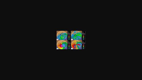
Hong Kong was under successive strikes from Super Typhoons Hato (1713) and Mangkhut (1822) in 2017 and 2018, respectively, necessitating the issuance of the highest tropical cyclone warning signal. Both storms skirted past the south-southwest of Hong Kong, bringing extremely high winds and severe storm surge. While they both had serious impacts on Hong Kong, Hato and Mangkhut have very different storm characteristics. Hato was marked by its unusually rapid intensification while moving close to the coastal areas of Guangdong, and this in turn posed challenges in the timely issuance of tropical cyclone warning signals in the Pearl River Delta region. Although Mangkhut showed signs of weakening after it moved across Luzon and took on a track further away from Hong Kong compared with Hato, its extensive circulation, ferocious winds and fast movement, as well as its special wind structure, made it the most damaging storm in Hong Kong in the last three decades. Based on information from the Hong Kong Observatory and Hong Kong Federation of Insurers, the economic losses to Hong Kong were 1.2 billion and 4.6 billion Hong Kong dollars (or 0.15 billion and 0.59 billion US$) for Hato and Mangkhut, respectively. There were no fatalities in Hong Kong in both cases. This paper is the first part of a two-part series. Part I analyses the maximum intensity and wind structure of Hato and Mangkhut based on all available meteorological observations during their passages, while Part II covers the challenges in forecasting and early warnings.
更新日期:2020-07-06



















 京公网安备 11010802027423号