当前位置:
X-MOL 学术
›
Appl. Veg. Sci.
›
论文详情
Our official English website, www.x-mol.net, welcomes your feedback! (Note: you will need to create a separate account there.)
Quantification of accuracy in field‐based land cover maps: A new method to separate different components
Applied Vegetation Science ( IF 2.8 ) Pub Date : 2021-04-02 , DOI: 10.1111/avsc.12578 Hannah E. E. S. Haga 1 , Anne B. Nilsen 2, 3 , Heidrun A. Ullerud 2 , Anders Bryn 2, 3
Applied Vegetation Science ( IF 2.8 ) Pub Date : 2021-04-02 , DOI: 10.1111/avsc.12578 Hannah E. E. S. Haga 1 , Anne B. Nilsen 2, 3 , Heidrun A. Ullerud 2 , Anders Bryn 2, 3
Affiliation
|
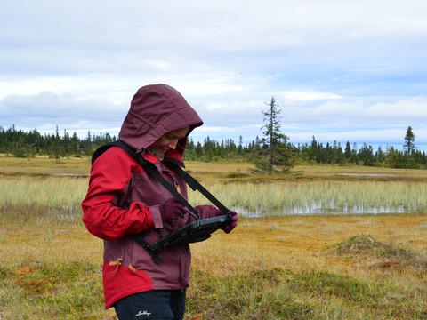
Many thematic land cover maps, such as maps of vegetation types, are based on field inventories. Studies show inconsistencies among field workers in such maps, explained by inter‐observer variation in classification and/or spatial delineation of polygons. In this study, we have tested a new method to assess the accuracy of these two components independently.
中文翻译:

量化基于土地的土地覆被图的准确性:一种分离不同组成部分的新方法
许多主题性的土地覆盖图(例如植被类型的地图)都是基于实地盘存的。研究表明,这样的地图中现场工作人员之间存在不一致,这是由观察者之间的多边形分类和/或多边形空间划分所引起的。在这项研究中,我们测试了一种独立评估这两个组件准确性的新方法。
更新日期:2021-05-07
中文翻译:
量化基于土地的土地覆被图的准确性:一种分离不同组成部分的新方法
许多主题性的土地覆盖图(例如植被类型的地图)都是基于实地盘存的。研究表明,这样的地图中现场工作人员之间存在不一致,这是由观察者之间的多边形分类和/或多边形空间划分所引起的。在这项研究中,我们测试了一种独立评估这两个组件准确性的新方法。


 京公网安备 11010802027423号