当前位置:
X-MOL 学术
›
Appl. Veg. Sci.
›
论文详情
Our official English website, www.x-mol.net, welcomes your feedback! (Note: you will need to create a separate account there.)
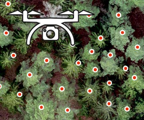
The perspective of unmanned aerial systems in forest management: Do we really need such details?
Applied Vegetation Science ( IF 2.8 ) Pub Date : 2020-05-27 , DOI: 10.1111/avsc.12503 Jan Komárek 1
Applied Vegetation Science ( IF 2.8 ) Pub Date : 2020-05-27 , DOI: 10.1111/avsc.12503 Jan Komárek 1
Affiliation
|
Forest ecosystems provide countless ecosystem services potentially mitigating the ongoing climate change; those services, however, suffer not only from the change of climate but also from a rising human pressure. Understanding of forest ecosystem complexity and consistent monitoring of ongoing changes can be a key to climate change mitigation. Remote sensing can capture data at various scales and times and can complement and enhance traditional forest field surveys. Low‐altitude aerial surveys conducted with unmanned aerial systems (UAS) may bridge the gap between remote imaging and field surveys, especially at local scales. The current professional UAS sensors offer astounding detail and accuracy but are associated with high costs. For everyday forest practice, information on forest structure and health status is needed. Such information can, however, also be captured by consumer‐grade UAS and casual cameras at reasonable costs with sufficient accuracy, which makes the high costs associated with better detail unjustifiable for the common forest practice.
中文翻译:

森林管理中无人机系统的观点:我们真的需要这样的细节吗?
森林生态系统提供了无数的生态系统服务,有可能减轻正在进行的气候变化;但是,这些服务不仅遭受气候变化的影响,而且遭受人为压力的上升。对森林生态系统复杂性的了解以及对持续变化的持续监控可能是缓解气候变化的关键。遥感可以捕获各种规模和时间的数据,并且可以补充和增强传统的森林实地调查。使用无人航空系统(UAS)进行的低空航空勘测可以弥合远程成像和现场勘测之间的差距,尤其是在本地范围内。当前的专业UAS传感器具有惊人的细节和准确性,但成本高昂。对于日常的森林实践,需要有关森林结构和健康状况的信息。这样的信息可以
更新日期:2020-05-27
中文翻译:
森林管理中无人机系统的观点:我们真的需要这样的细节吗?
森林生态系统提供了无数的生态系统服务,有可能减轻正在进行的气候变化;但是,这些服务不仅遭受气候变化的影响,而且遭受人为压力的上升。对森林生态系统复杂性的了解以及对持续变化的持续监控可能是缓解气候变化的关键。遥感可以捕获各种规模和时间的数据,并且可以补充和增强传统的森林实地调查。使用无人航空系统(UAS)进行的低空航空勘测可以弥合远程成像和现场勘测之间的差距,尤其是在本地范围内。当前的专业UAS传感器具有惊人的细节和准确性,但成本高昂。对于日常的森林实践,需要有关森林结构和健康状况的信息。这样的信息可以


 京公网安备 11010802027423号