International Journal of Applied Earth Observation and Geoinformation ( IF 7.5 ) Pub Date : 2018-10-03 , DOI: 10.1016/j.jag.2018.09.020 Narumasa Tsutsumida , Pedro Rodríguez-Veiga , Paul Harris , Heiko Balzter , Alexis Comber

|
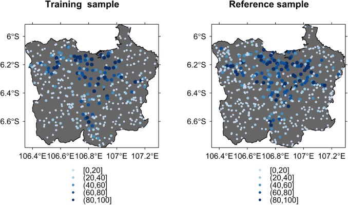
The objective of this study is to investigate spatial structures of error in the assessment of continuous raster data. The use of conventional diagnostics of error often overlooks the possible spatial variation in error because such diagnostics report only average error or deviation between predicted and reference values. In this respect, this work uses a moving window (kernel) approach to generate geographically weighted (GW) versions of the mean signed deviation, the mean absolute error and the root mean squared error and to quantify their spatial variations. Such approach computes local error diagnostics from data weighted by its distance to the centre of a moving kernel and allows to map spatial surfaces of each type of error. In addition, a GW correlation analysis between predicted and reference values provides an alternative view of local error. These diagnostics are applied to two earth observation case studies. The results reveal important spatial structures of error and unusual clusters of error can be identified through Monte Carlo permutation tests. The first case study demonstrates the use of GW diagnostics to fractional impervious surface area datasets generated by four different models for the Jakarta metropolitan area, Indonesia. The GW diagnostics reveal where the models perform differently and similarly, and found areas of under-prediction in the urban core, with larger errors in peri-urban areas. The second case study uses the GW diagnostics to four remotely sensed aboveground biomass datasets for the Yucatan Peninsula, Mexico. The mapping of GW diagnostics provides a means to compare the accuracy of these four continuous raster datasets locally. The discussion considers the relative nature of diagnostics of error, determining moving window size and issues around the interpretation of different error diagnostic measures. Investigating spatial structures of error hidden in conventional diagnostics of error provides informative descriptions of error in continuous raster data.
中文翻译:

研究连续栅格数据中的空间误差结构
这项研究的目的是研究连续栅格数据评估中误差的空间结构。使用常规的错误诊断程序通常会忽略错误的可能空间变化,因为此类诊断程序仅报告平均错误或预测值与参考值之间的偏差。在这方面,这项工作使用了移动窗口(核)方法来生成均值符号偏差,均值绝对误差和均方根误差的地理加权(GW)版本,并量化其空间变化。这种方法根据通过数据到移动内核中心的距离加权的数据来计算局部错误诊断,并允许映射每种错误的空间表面。此外,预测值和参考值之间的GW相关性分析提供了局部误差的另一种观点。这些诊断程序适用于两个地球观测案例研究。结果揭示了重要的错误空间结构,并且可以通过蒙特卡洛置换测试确定异常的错误簇。第一个案例研究演示了如何使用GW诊断技术对由印度尼西亚雅加达都会区的四种不同模型生成的不透水表面积数据集的使用。GW的诊断结果揭示了模型在哪些方面表现不同和相似,并发现了城市核心地区的预测不足区域,而在城市周边地区则存在较大的误差。第二个案例研究使用GW诊断对墨西哥尤卡坦半岛的四个遥感地上生物量数据集进行了分析。GW诊断的映射提供了一种在本地比较这四个连续栅格数据集准确性的方法。讨论考虑了错误诊断的相对性质,确定了移动窗口的大小以及围绕不同错误诊断措施的解释所遇到的问题。调查隐藏在常规错误诊断中的错误的空间结构可提供连续栅格数据中错误的丰富描述。


 京公网安备 11010802027423号